

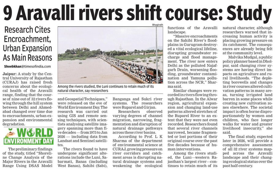
Nine rivers in the Aravalli range one of the world’s oldest mountain systems, older than the Himalayas, spanning the ecological spine of northwestern India have measurably shifted course over the past five decades. They have narrowed, fragmented, lost portions of their channels to cities that were planned, approved, and built as if the rivers were an inconvenience rather than the reason the land was livable at all. Nobody was prosecuted. Few were even publicly embarrassed. The rivers simply moved, and the official maps were quietly redrawn to accommodate the new reality. This is the grammar of environmental collapse in the world’s most populous democracy: not catastrophe, but attrition. Not a single villain, but a bureaucratic ecosystem so diffuse in its culpability that accountability becomes structurally impossible. A residential colony absorbs a floodplain here. An industrial estate constricts a river corridor there. A highway is routed through wetlands that were not, technically, gazetted as wetlands. Each decision survives its own scrutiny. Their cumulative consequence does not. “In India, environmental knowledge has rarely suffered from a shortage of data. It has suffered from a shortage of consequence.” Geographic Information Systems GIS represent the most potent challenge to this architecture of evasion that planning governance has yet produced. Satellite imagery does not forget. It is not susceptible to jurisdictional reshuffling, political telephony, or the slow bureaucratic digestion that renders environmental impact assessments irrelevant by the time a project breaks ground. A GIS overlay a city’s sanctioned land-use map set against its actual built footprint, cross-referenced against a river’s documented course in 1975 and again today generates something that planning committees have spent generations learning to avoid: a timestamped, spatial, irrefutable record of what was decided, and precisely what it destroyed. Western Rajasthan’s largest river continues to retain much of its natural character a distinction that should be a baseline, not an achievement. The Jojari, which carries Jodhpur’s textile effluents into the Luni basin, has no such distinction. Both rivers remain largely absent from the state’s development planning framework. The stakes for Rajasthan are not abstract. The Jojari carries Jodhpur’s textile effluents chromium, synthetic dyes, untreated discharge into the Luni, which drains a catchment that sustains agriculture across some of the most water-scarce terrain on the subcontinent. The Banas, the Chambal, the Banganga are not merely scenic or sentimental assets. They are the functional infrastructure of groundwater recharge, flood attenuation, and agricultural viability across vast stretches of the state. Their ecological integrity is not a separate policy domain from urban planning or industrial regulation. It is the same question, being answered badly in multiple places simultaneously. Yet Rajasthan’s development approval machinery the Jaipur Development Authority, Urban Improvement Trusts, Special Area Development Authorities scattered across the state continues to process project clearances without mandatory spatial cross-checks against watercourse proximity, historical inundation data, or groundwater recharge zone maps. The relevant data exists. It sits in satellite archives maintained by ISRO and the European Space Agency, in river atlases published by the Central Water Commission, in environmental surveys conducted by state and national agencies. In India, environmental knowledge has rarely suffered from a shortage of data. It has suffered from a shortage of consequence.